The aim of the atlas, published by the Herder Institute together with Polish and Czech partners, is to present the topographic settlement development of 34 selected towns in the historical region of Silesia from the 19th to the 21st century. In addition to texts on the development of the respective town, the concept of the project also includes the editing of official topographical map sources and aerial photographic sources, some of which are unique, at a uniform scale of 1:25000, from the year ...
DETAILS
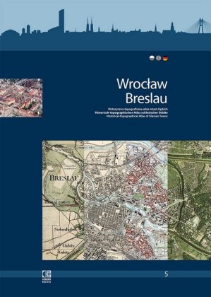
Wroclaw/Breslau. Historisch-topographischer Atlas schlesischer Städte.
Historyczno-topograficzny atlas miast slaskich. Band/Tom 5.
Geheftet, 80 S.
114 Abb.
Sprache: Polnisch, Deutsch, Englisch
296 mm
Verlag Herder-Institut (2016)
Gewicht: 840 g
ISBN-13: 978-3-87969-409-9
Titelnr.: 58770125